Undergraduate thesis · 202601
Rice Harvest Readiness from Drone Imagery
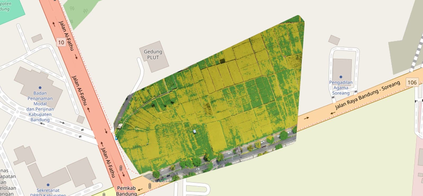
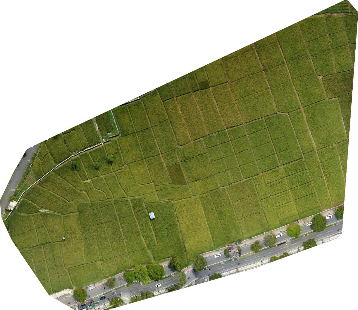
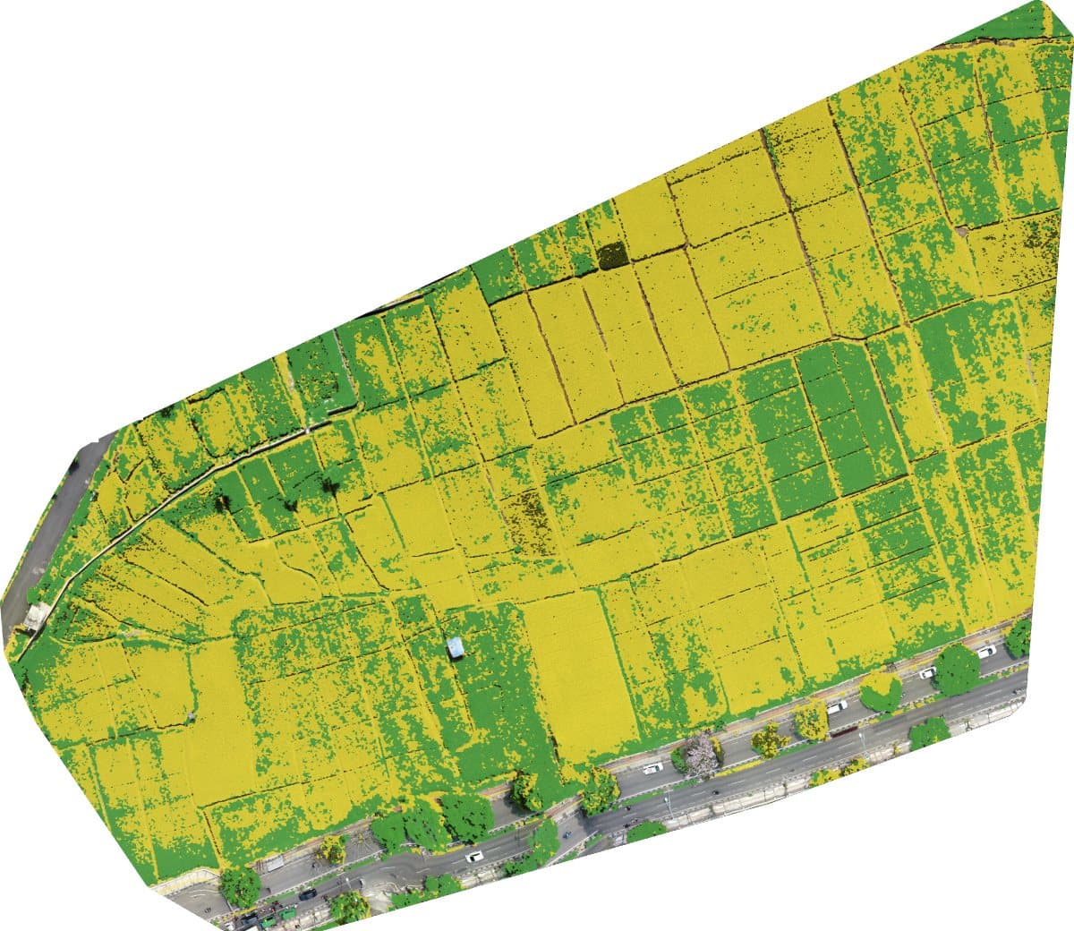
Raw drone photos in, a field map and a harvest verdict out. A three-tier system that runs fully offline on a single field laptop, with no cloud service.
- per pixel
- 5 cm
- REST endpoints
- 12
- harvest threshold
- 60%
- Stitches drone photos into a georeferenced orthophoto at 5 cm per pixel with NodeODM in Docker.
- Gaussian Blur and CLAHE preprocessing, then HSV color segmentation to separate ripe from unripe rice.
- Python
- OpenCV
- Rasterio
- FastAPI
- SQLite
- Docker
- NodeODM
- Next.js
- Leaflet